Why is Lake Mead so low?
The short version: the Colorado River has been giving less water than the rules assumed, for a long time.
Updated 12 September 2026
Lake Mead is the largest reservoir in the United States by capacity, held back by Hoover Dam, and it supplies water to Nevada, Arizona, California and Mexico. When it drops, it is news, and the white "bathtub ring" around the shoreline makes it visible from any viewpoint.
The basic reason
More water has been taken out of the Colorado River than has flowed into it, for years at a time.
The river's water was divided between states under agreements written in the 1920s, based on flow measurements from an unusually wet stretch of years. The river has delivered less than that assumption for most of the time since, and a long dry period in the Southwest since 2000 made the gap much wider. A reservoir absorbs that difference until it cannot.
Lake Mead is the accounting book for the Lower Colorado. It falls when upstream releases and natural inflow are less than what is drawn out and what evaporates, which in a desert is a lot.
Why Lake Powell matters to Lake Mead
Lake Mead does not fill on its own. Most of its water arrives as releases from Lake Powell, several hundred miles upstream behind Glen Canyon Dam. The two are managed as one system, and the volume released from Powell each year is set by rules that depend on how full both reservoirs are.
So if you want to know where Mead is heading, watch Powell too. A good snow year in the Rockies feeds Powell first.
The elevations people talk about
Lake Mead's level is quoted in feet above sea level, and certain numbers carry consequences: thresholds that trigger water cuts for Arizona, Nevada and Mexico, the level below which Hoover Dam cannot generate power, and "dead pool", the point where water can no longer flow downstream through the dam at all.
Because these are set in law and subject to change, check the Bureau of Reclamation for the current figures rather than relying on numbers repeated in old articles.
Is it still falling?
Not always, and this is where a single number misleads. Lake Mead rises and falls through the year with releases and demand, and a strong snowpack can lift it noticeably. The useful question is not "is it low" but "is it lower than usual for this date".
That is what the Lake Mead page on Lakedip shows: today's level, and how it compares with the median for the same date across decades of records. A lake can be far below its full mark and still be normal for the time of year, or near its record low for the date. Those are different situations.
What it means if you are visiting
Low water changes access more than it changes the view. Boat ramps close when the shoreline retreats past the end of the concrete, marinas move, and hazards that were once deep can sit near the surface.
Check the National Park Service for current ramp and marina status at Lake Mead National Recreation Area before towing a boat there. Our page gives you the level; they decide what is open.
Check a lake now
- Lake Mead6 mph wind
- Lake Powell3517.0 ft, 2 mph wind
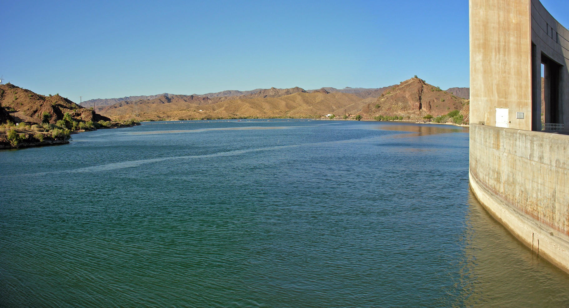 Lake Havasu48.3 ft, 9 mph wind
- Elephant Butte Lake1.4% full, 4 mph wind
Lake Mead's level on Lakedip comes from the USGS gauge at Hoover Dam, run with the Bureau of Reclamation, which publishes the official figures. Historical comparisons use daily records from those agencies.
More guides
- What water temperature do bass and crappie spawn at?
Spawning runs on water temperature, not the calendar. Here are the numbers for the fish most people are after. - What water temperature is too cold to swim in?
The short answer is below 70 °F (21 °C), and the reason has nothing to do with how cold it feels.